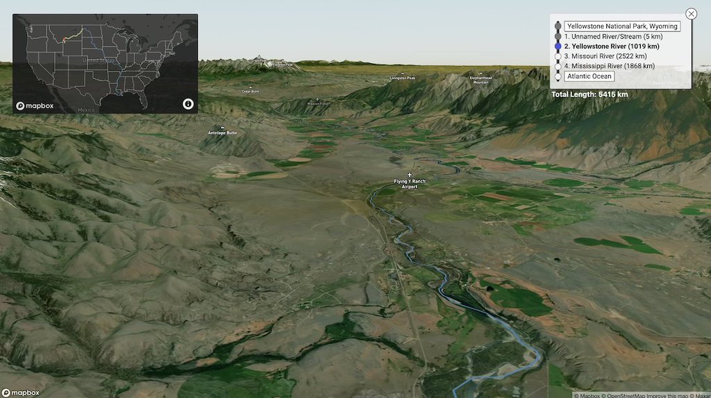
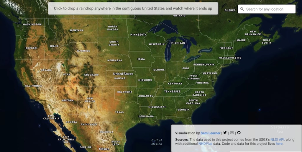
Data analyst Sam Learner has created River Runner, a fascinating interactive map that traces the path of raindrops down rivers and streams anywhere within the contiguous United States to see where they end up. The map uses information from both the U.S. Geological Survey Hydro Network-Linked Data Index and NHDPlus High Resolution.
This uses USGS NHDPlus data and their NLDI API to visualize the path of a rain droplet from any point in the contiguous United States to its endpoint (usually the ocean, sometimes the Great Lakes, Canada/Mexico, or another inland water feature). It’ll find the closest river/stream flowline coordinate to a click/search and then animate along that flowline’s downstream path.
Learner has made the source code for the project available on GitHub.
Really excited about a project I'm working on to trace the flow path of a raindrop from anywhere in the country, using @USGS NHDPlus data. This is a little section of a raindrop's path from northern Washington to the pacific. pic.twitter.com/finKDRFe8t
— Sam Learner (@sam_learner) May 12, 2021

via Waxy
Related Posts
Follow Laughing Squid on Facebook, Twitter, and Subscribe by Email.
The post An Interactive Map That Traces the Path of a Raindrop Down Rivers and Streams to See Where It Ends Up first appeared on Laughing Squid.


0 Commentaires